Day 7 - Visiting Mitchell
Start: Prineville
End: Mitchell
Distance: 48 miles
Elevation: 2405 ft

Started riding late again today. I wait for temps to “warm” up some. Today I waited for temps to rise to 45 deg. 10:20am Today it started out partly sunny.

Prineville county building was cool. I love the stone work. Flags were at half-staff for what I don’t know.

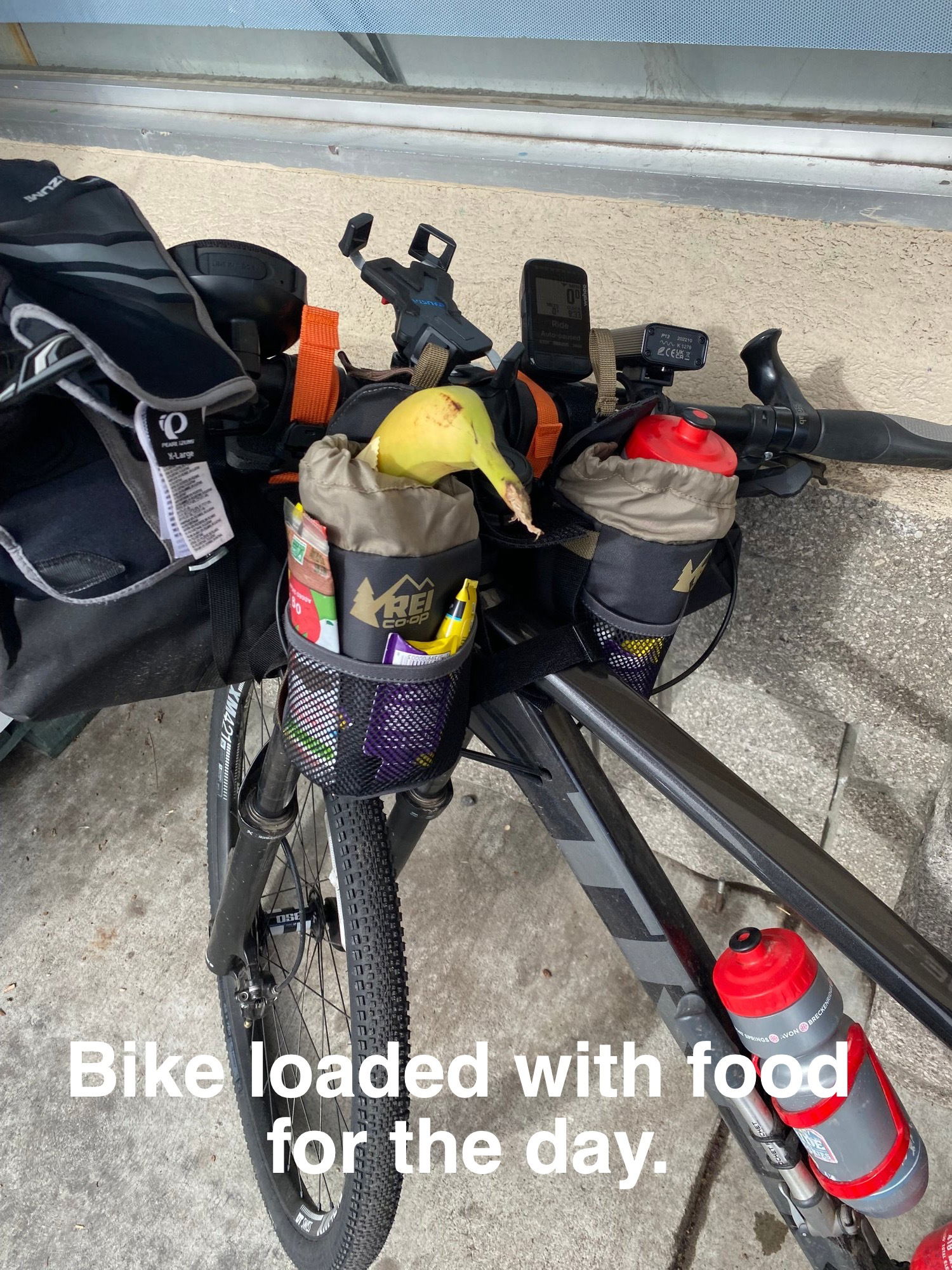
I rode out into a brisk morning after a big breakfast and some supplies from the grocery store. I cannot depend on food during this leg of the trip, so I bought a sandwich from the deli and fruit. I try to always have a banana each day and an orange or apple. Also, some green machine drink for midday pick me up. I do not do energy drinks, (ever) and try to stay away from sugary drinks, at least while riding. Sugar crashes are not good.
I rode up hwy 26 or Ochoco Highway. All of the rivers are running right at the brim of the banks. Runoff has certainly started.

It seemed like I climbed all day. My normal 10 miles per hour marker I was not making at all. At end of hour 3 I was on 22 miles ridden for the day. A little demoralizing, but the climbing still did not end, but here came the rain again. Good thing I was not riding here yesterday for there was new snow on road shoulders with evidence roads had been plowed. It was chilly. Enough so, I could not stop for more than 10 minutes all the way to the top, otherwise my sweat would chill me. I had to keep up a steady pace.

At the top, I saw a favorite sign, “DownHill 7 miles”.
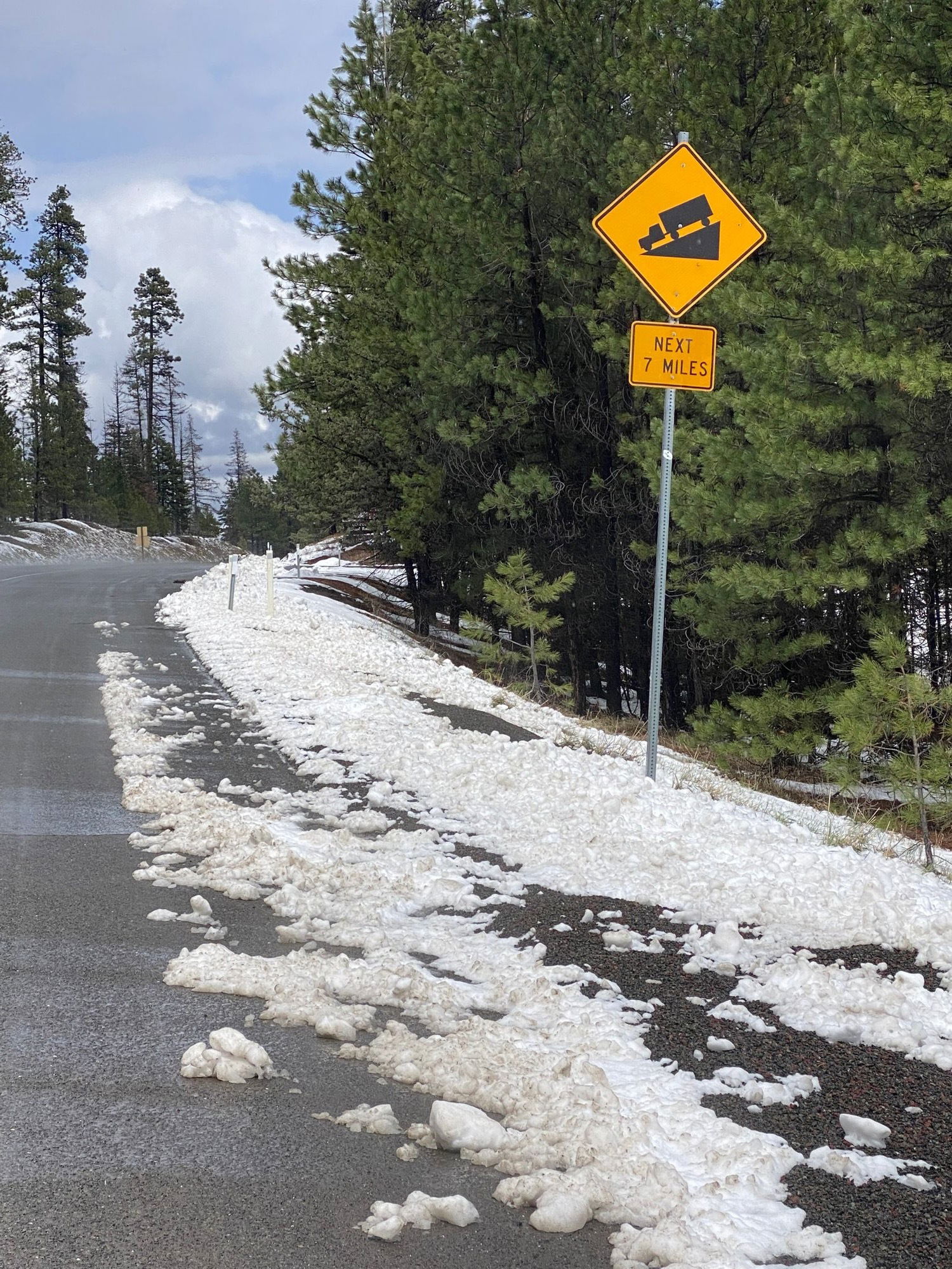
Going down hill is its own adventure with a heavy loaded bike and center of gravity high up on bike. Bike wobbles and speed must be controlled. I like disc brakes!

I arrived at mile 48 in the Town of Mitchell a happy boy. I promptly ate a huge plate of fish and chips British style. Very good.
Tonight’s home is camping in the town park. :-)

My new wheels? All Good. All spokes are tight and all accounted for. :-)